



A geocoding API turns an address into latitude and longitude (forward geocoding), turns a pair of coordinates back into an address (reverse geocoding), or completes an address as someone types it (autocomplete). You call it from a signup form, a checkout, a store locator, a delivery route, or a batch job that cleans a spreadsheet of customer addresses.
Three questions decide which provider fits, and the headline price is not one of them.
- What may you do with the result? Some APIs let you store a geocode forever, some let you cache it for only a day, and some charge a higher rate the moment you want to keep it.
- Where does the data come from? OpenStreetMap-derived services are cheap and usually let you store results, but they ask for attribution and lean on community coverage. Proprietary datasets from Google, HERE, and TomTom cost more and carry tighter terms.
- How precise do you need to be? A rooftop pin and a street-interpolated guess are both a geocode, and only one of them lands on the right building.
Google’s March 2025 pricing change reset the math for this category. The flat $200 monthly credit is gone, replaced by a smaller free allowance on each API, so the old advice to switch away from Google on cost alone needs a second look. In this guide, I have compared the top geocoding APIs on what they return, how they license it, and what they charge customers in the US.
Geocoding APIs at a glance
| Provider | Best for | Data source | Free tier | Storing results |
|---|---|---|---|---|
| Google Maps Platform | The global default and accuracy reference | Proprietary | 10,000 calls/mo per API | Allowed, 30-day cache limit on coordinates |
| Mapbox | Geocoding and maps on one bill | Hybrid (OSM and proprietary) | 100,000 requests/mo | Only on the paid Permanent tier |
| HERE | Enterprise projects that also need routing and fleet tools | Proprietary | About 30,000 transactions/mo | Needs a Permanent Geocoding contract |
| TomTom | Teams already on TomTom maps or navigation | Proprietary (Orbis adds open data) | 20,000 requests/mo | Contact TomTom for terms |
| Radar | Replacing Google with one vendor at a flat rate | Hybrid | None, sales quote only | Allowed under contract |
| Geoapify | Cheap OpenStreetMap geocoding with a playground | OSM, OpenAddresses, GeoNames | 3,000 credits/day | Allowed, keep the attribution |
| OpenCage | Predictable billing with no rate-limit surprises | OpenStreetMap plus open data | 2,500 requests/day (testing) | Allowed, permanently |
| LocationIQ | A low-cost global API with US and EU hosting | OpenStreetMap, OpenAddresses | 5,000 requests/day | Paid plans: permanent. Free: 48 hours |
| Nominatim | The free OpenStreetMap baseline and self-hosting | OpenStreetMap only | 1 request/second, public server | Cache required, reselling barred |
| Geocodio | US, Canada, Mexico and UK with data appends | Census, OSM and open data | 2,500 lookups/day | Allowed |
| Smarty | Rooftop-accurate US address and geocode data | Proprietary (USPS and Smarty) | 1,000 lookups over 42 days | Only while the subscription is active |
| Esri ArcGIS | GIS teams that want an explicit stored option | Proprietary and partner data | 20,000 geocodes/mo (not stored) | Separate paid stored tier |
| AWS Location Service | Applications already on AWS | Partner data, OSM for map tiles | 20,000 Core requests/mo for 3 months | Separate Stored price bucket |
| Azure Maps | Applications already on Azure | Proprietary (TomTom and partners) | 5,000 transactions/mo | Allowed under Azure terms |
Google Maps Platform
The Google Geocoding API converts an address, a Plus Code, or a Place ID into coordinates and back again. Every result is tagged with an accuracy level, from a rooftop hit to a position interpolated along the street to a district centroid. Version 4 of the API is now generally available alongside the established v3, and it draws on Google’s own map data, refreshed continuously.
Key Features
- Results carry the formatted address, split address components, a Place ID, and a viewport box for framing a map.
- The
location_typefield spells out how the point was derived:ROOFTOP, RANGE_INTERPOLATED,GEOMETRIC_CENTER, orAPPROXIMATE. - Region biasing and component filtering constrain a search to a country or postal area.
- A separate address validation API checks and corrects a postal address before you save it.
- Client libraries for Python, Node, Go, Java, and .NET, with a Places Autocomplete service for type-ahead entry.
Pros & Cons
PROS
CONS
Pricing
Billed per API since the March 2025 change; the old $200 monthly credit no longer applies.
- Free: 10,000 Geocoding API calls per month
- 10,001 to 100,000 calls: $5.00 per 1,000
- 100,001 to 500,000 calls: $4.00 per 1,000, then lower with volume
- Address Validation: separate, from $17.00 per 1,000 with 5,000 free
Mapbox
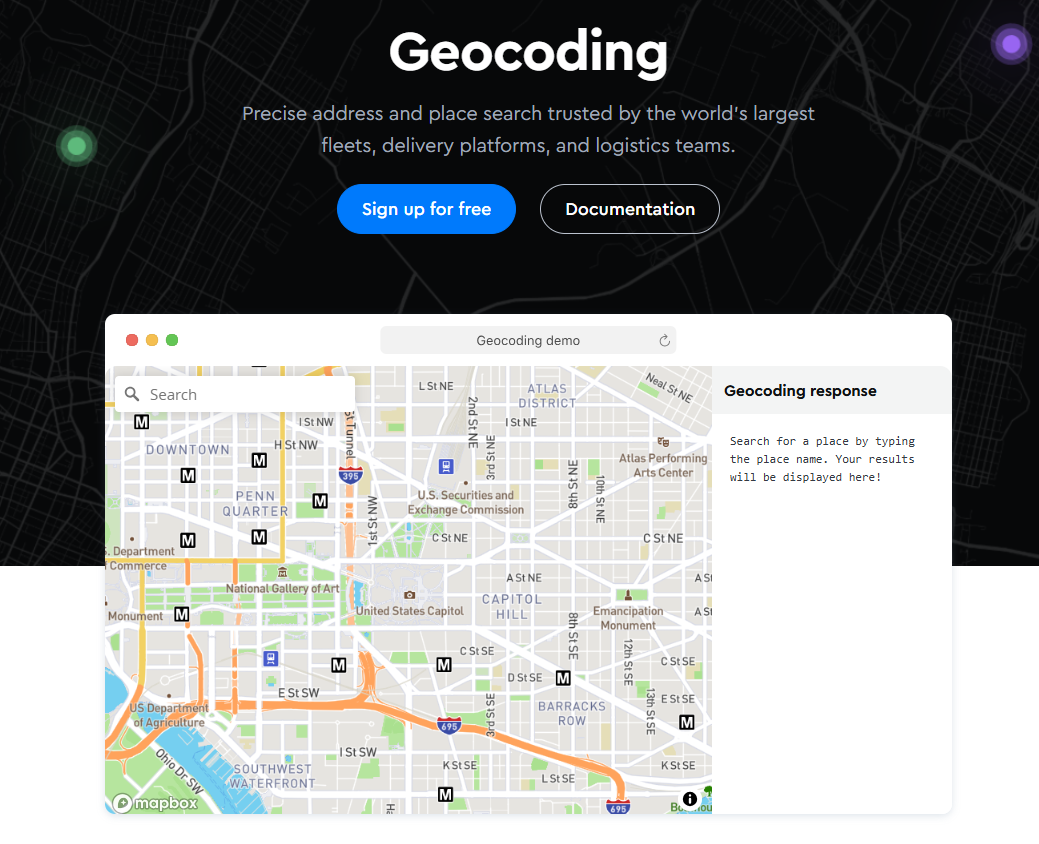
Mapbox Geocoding, now on v6, is the search half of a platform whose other half is maps, navigation, and vector tiles, so a team building a store locator or a delivery app can put everything on one invoice. The v6 API takes free-form or structured input, does forward and reverse lookups, and returns address components ready to drop into a form. One licensing rule shapes how you use it: standard temporary responses cannot be cached, and keeping results means moving to the paid Permanent Geocoding tier.
Key Features
- Structured input in v6: pass street, city, region, and postcode as separate fields for a cleaner match.
- Batch geocoding of up to 50 queries per request.
- Address Autofill and a session-based Search Box API for type-ahead address entry.
- Downloadable Boundaries and Movement datasets for teams that also need polygons or mobility data.
Pros & Cons
PROS
CONS
Pricing
Temporary Geocoding is pay-as-you-go; Permanent Geocoding is quote-based.
- Free: 100,000 Temporary Geocoding requests per month
- Above that: $0.75 per 1,000, falling to $0.45 at high volume
- Permanent Geocoding: $5.00 per 1,000, no free tier, contact sales
- Search Box for type-ahead: billed per session
HERE
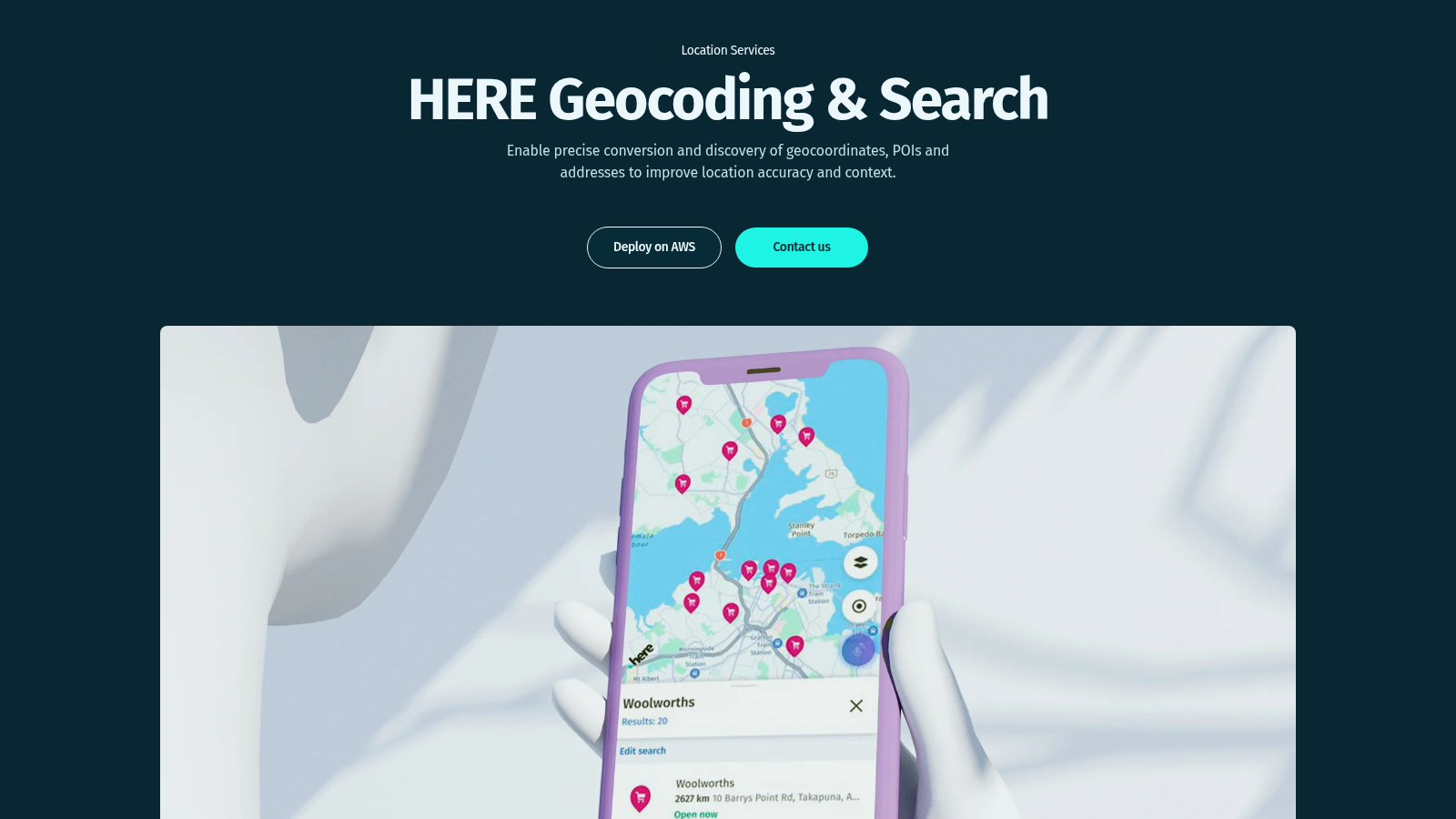
HERE Geocoding & Search draws on one of the two large proprietary map datasets that predate OpenStreetMap, the other being TomTom’s. The v7 API handles forward and reverse geocoding, structured queries, autosuggest, and autocomplete, and it can search along a route, not only around a point. HERE fits teams that also need routing, matrix calculations, or fleet planning, since HERE offers all of them on one platform behind a single key.
Key Features
- Search along a polyline, useful for a next-gas-station-on-my-route query.
- Autosuggest and autocomplete endpoints for progressive address entry.
- Structured geocoding with separate house-number, street, and postal-code fields.
- Daily data updates, with POI attributes and third-party content such as EV charge points.
Pros & Cons
PROS
CONS
Pricing
Base plan: a monthly free tier per API, then pay-as-you-grow per transaction with no daily limit.
- Free: around 30,000 Geocoding & Search transactions per month
- Above the free tier: usage-based, with published rates starting well under $1 per 1,000
- Enterprise plan: MAU and asset-based pricing with volume discounts
TomTom
TomTom’s Places APIs cover forward geocoding, structured geocoding, reverse geocoding, and place search, and new work now targets the TomTom Orbis Maps platform, which blends TomTom’s own data with OpenStreetMap and other open sources. A US-only Premium Geocoding option adds building entrances and parking points for last-meter delivery accuracy. TomTom is best when a project already uses its maps or navigation SDKs.
Key Features
- Free-form and structured forward geocoding, with a separate reverse endpoint.
- Batch geocoding for bulk address files.
- One key across geocoding, map display, routing, and traffic APIs.
Pros & Cons
PROS
CONS
Pricing
Start free with no credit card, then pay-as-you-grow.
- Free: 20,000 Geocoding API requests per month
- Places Search suggest: 10,000 per month free; details and discover: 5,000 each
- Above the free tier: usage-based per request, shown in TomTom’s calculator
- Enterprise: custom pricing for APIs and SDKs
Radar
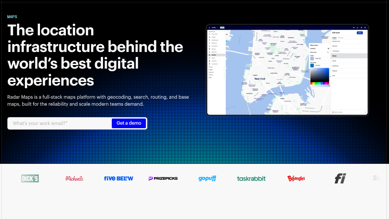
Radar Maps is pitched directly at teams leaving Google: one platform for geocoding, address autocomplete, address validation, search, routing, and base maps. Its Core Maps tier covers forward, reverse, and IP geocoding plus autocomplete at a single flat rate, which makes cost forecasting simple. The catch for small projects is that Radar no longer offers a self-serve free tier: every account starts with a sales quote and an annual commitment.
Key Features
- Core Maps covers geocoding, reverse, IP geocoding, autocomplete, distance, and directions from one set of endpoints.
- Address validation, places search, and route optimization form a second Premium Maps group.
- SDKs for web, iOS, Android, React Native, and Flutter, developed alongside Radar’s geofencing product.
- SOC 2 and GDPR compliance, with the company reporting a billion API calls a day.
Pros & Cons
PROS
CONS
Pricing
Annual contracts only, priced from a usage quote; no free tier.
- Core Maps, meaning geocoding, autocomplete, and routing: from $0.50 per 1,000 API calls
- Premium Maps, meaning address validation and places search: from $2.00 per 1,000
- Volume discounts are set by sales, not applied automatically
- SDK products for tracking and geofencing: priced per monthly tracked user
Geoapify
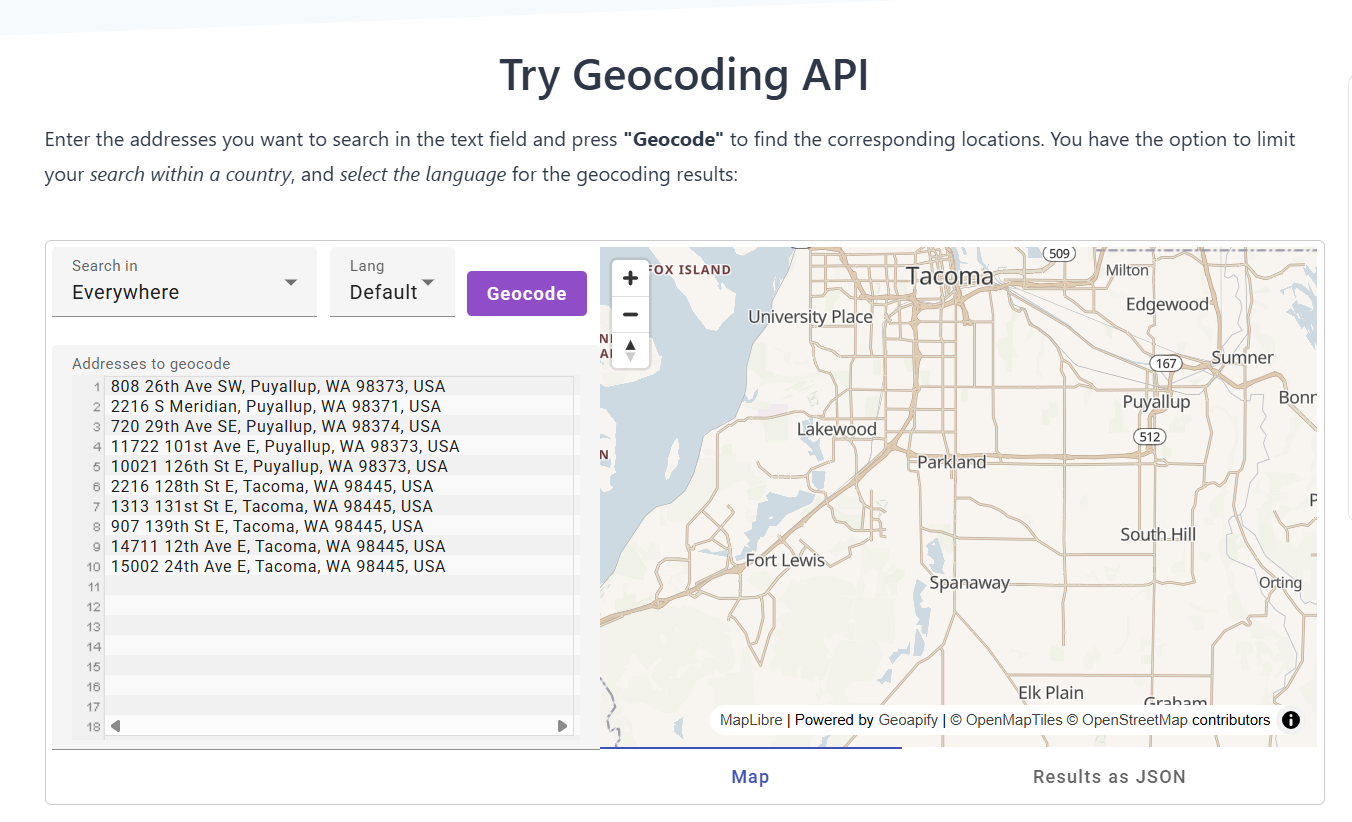
Geoapify is a German provider that builds its geocoding on OpenStreetMap, OpenAddresses, and GeoNames, and sells it on a plain daily-credit plan. A free online tool and an in-browser playground let you test address lookups and batch a spreadsheet before writing any code. It is a good pick when the budget is tight and you want a simple, per-request bill.
Key Features
- One credit per request, whether it is a geocode, a reverse lookup, or a places query, with a batch mode for bulk files.
- Free downloadable datasets for cities, postcodes, and timezone boundaries.
- An address autocomplete endpoint and a hosted map-tile service on the same key.
Pros & Cons
PROS
CONS
Pricing
Daily-credit plans, billed monthly or yearly, no card for the free tier.
- Free: 3,000 credits per day, up to 5 requests per second
- API 10: $59 per month, 10,000 credits per day
- API 25: $109 per month, 25,000 credits per day
- Higher tiers scale to unmetered use on a dedicated server
OpenCage
OpenCage aggregates OpenStreetMap and a stack of other open datasets into a single worldwide geocoding API. There are no per-request overage fees and no hard cut-offs: go over your daily limit occasionally and requests keep working, with a nudge to move up a tier only if it becomes a habit. Results can be stored permanently, even after you stop paying.
Key Features
- Forward and reverse geocoding with annotations such as timezone, currency, and calling code on every result.
- Client libraries and examples for more than 40 languages and frameworks.
- A spreadsheet upload tool and a separate Geosearch autosuggest product for form fields.
Pros & Cons
PROS
CONS
Pricing
Flat monthly or annual plans, plus one-time credit packs; the free trial is for testing only.
- Free trial: 2,500 requests per day, 1 request per second
- X-Small: $50 per month, 10,000 requests per day
- Small: $125 per month, 30,000 requests per day
- Larger plans run to 300,000 requests per day, then Enterprise
LocationIQ
LocationIQ, run by Unwired Labs since 2013, is an OpenStreetMap-based API that positions itself as a low-cost swap for Google Maps, with a choice of US or EU datacenters. It covers forward and reverse geocoding, autocomplete, static and dynamic map tiles, and routing, all metered from a single request-credit pool. Coverage and accuracy track OpenStreetMap and OpenAddresses.
Key Features
- One request credit covers a geocode, a reverse lookup, an autocomplete call, or a map view.
- IP and HTTP referrer restrictions on each access token, plus multiple tokens on paid plans.
- A startup program offering up to half off for companies under two years old.
Pros & Cons
PROS
CONS
Pricing
Per-day request plans, billed monthly or yearly, with two months free on annual.
- Free: 5,000 requests per day, 2 requests per second
- Developer: $100 per month, 25,000 requests per day, all APIs
- Startup: $200 per month, 60,000 requests per day
- Growth and Business plans move to large monthly request pools
Nominatim
Nominatim powers the search box on openstreetmap.org, and the same open-source software is free to use on a public server or to run yourself. It does forward and reverse geocoding from OpenStreetMap data only, and the public server comes with a strict usage policy: one request per second, a genuine User-Agent, visible attribution, and results cached on your side. For anything past light, user-triggered lookups, the intended path is your own instance.
Key Features
- Forward and reverse geocoding, plus a structured query mode, straight from OpenStreetMap.
- Fully self-hostable, with Docker images and ready-made regional extracts.
Pros & Cons
PROS
CONS
Pricing
Free to use, with a choice between the shared server and self-hosting.
- Public server: free, capped at 1 request per second, no bulk or autocomplete use
- Self-hosted: free software; you pay only for the server that runs it
- Production-grade reliability requires your own instance or a third-party host
Geocodio
Geocodio covers the US, Canada, Mexico, and, as of 2026, the UK, and it is made for bulk work and data enrichment, not global reach. One call can geocode an address and, in the same response, attach census tracts, congressional and state legislative districts, school districts, time zones, or ZIP+4. That turns five separate data joins into a single request. It has been a favorite of analysts and civic-data teams since 2014.
Key Features
- Address parsing, standardization, and correction of typoed or partial input.
- An accuracy score and an accuracy type on every result, so weak matches can be filtered in code.
- Single, batch, and spreadsheet-upload interfaces, the last with no code.
- Distance and drive-time matrices that handle far larger grids than most providers.
- Results are yours to store and reuse.
Pros & Cons
PROS
CONS
Pricing
Pay-as-you-go or monthly Flex plans; no card until you pass the free tier.
- Free: 2,500 lookups per day, which does not roll over
- Pay-as-you-go: $1.00 per 1,000 lookups after the free tier
- Flex plans: from $325 per month for 350,000 lookups, with credits that roll over
- Each data append counts as one extra lookup per record
Smarty
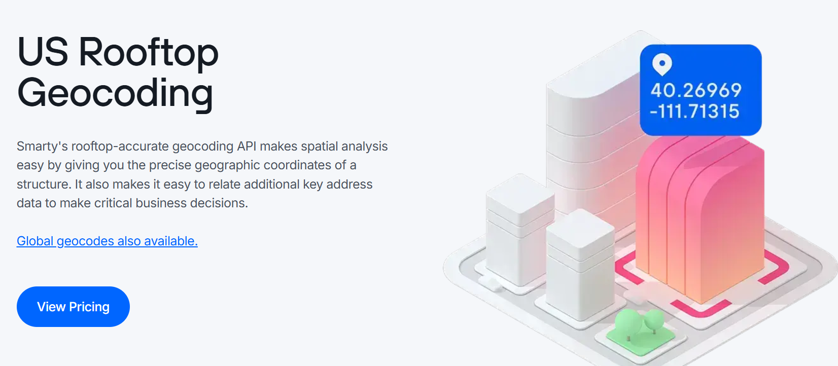
Smarty, formerly SmartyStreets, is a US address-verification specialist, and its US Rooftop Geocoding puts the pin on the actual building, not the center of the parcel or the street segment. It also handles sub-parcel cases such as shopping malls and mobile-home parks. Because it is delivered through the same US Street API that validates the address, you clean and locate in one call. NASA, Uber, and CarMax are among the names on its customer page.
Key Features
- USPS CASS-certified validation, rooftop coordinates, and a persistent Smarty Key identifier for each address.
- Up to 55 points of address metadata, including residential-or-commercial and vacancy flags.
- Access to more than 20 million non-postal addresses that the USPS database does not carry.
Pros & Cons
PROS
CONS
Pricing
Subscription plans by lookup volume, billed monthly or yearly, with a 42-day free trial.
- Free trial: 1,000 lookups over 42 days, no card
- Professional: from $125 per month, in bands from 1,000 to 170,000 lookups per month
- Custom plans for higher volume and stricter legal terms
Esri ArcGIS
Many city governments, utilities, and logistics firms already run ArcGIS, and the ArcGIS geocoding service comes bundled in. It does forward and reverse geocoding, candidate matching, suggestions, and batch jobs, and it makes the storage question explicit: there is one price if you use a geocode and discard it, and a higher price if you save it. That split maps cleanly onto how Esri licenses the rest of its platform.
Key Features
- Forward, reverse, candidate-match, suggestion, and batch endpoints from one service.
- A location-attributes option that returns front-door, rooftop, and roadside points for a place.
- Ties into ArcGIS mapping, routing, spatial analysis, and demographic enrichment on the same key.
- Coverage from Esri’s commercial dataset and its data partners, not OpenStreetMap.
Pros & Cons
PROS
CONS
Pricing
A free monthly tier on the not-stored rate; stored geocodes are billed from the first request.
- Not stored: 20,000 geocodes per month free, then $0.50 per 1,000
- Stored: $4.00 per 1,000 geocodes, no free tier
- Batch, stored: $4.00 per 1,000 geocodes
- Technical support: $2,500 per year; community support is free
Amazon Location Service
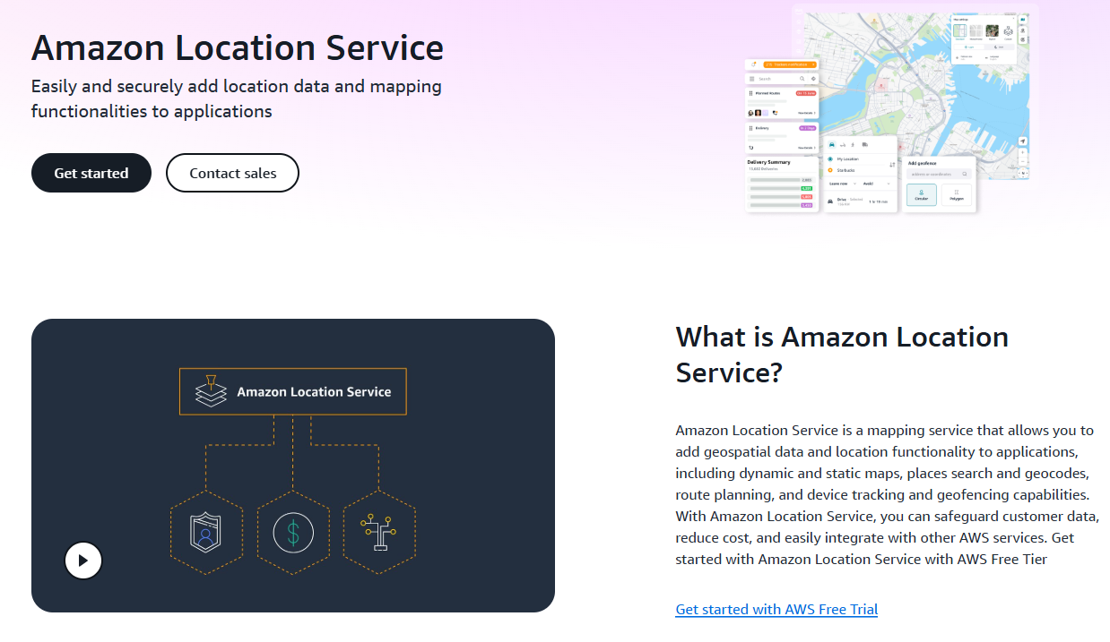
Amazon Location Service is the geocoder to reach for when the rest of the stack already lives in AWS, because it uses the same IAM roles, billing, and SDKs as everything else. Its Places API does forward and reverse geocoding, search, and autocomplete, priced in buckets: a cheaper Core rate for results you use and discard, and a Stored rate for results you keep. Map tiles come from OpenStreetMap and similar open sources, while the place data comes from commercial partners.
Key Features
- Places, Routes, Maps, Trackers, and Geofences under one service and one API key.
- A separate Address Validation feature for the US, Canada, UK, and Australia.
- Native integration with IAM, CloudWatch, and the AWS SDKs.
Pros & Cons
PROS
CONS
Pricing
Pay per request in Core or Stored buckets; a time-limited free tier for new accounts.
- Free: 20,000 Core geocode or reverse-geocode requests per month for the first 3 months, plus $200 in credits
- Core, not stored: $0.50 per 1,000 requests
- Stored: $4.00 per 1,000 requests
- Volume discounts above $5,000 per month
Azure Maps
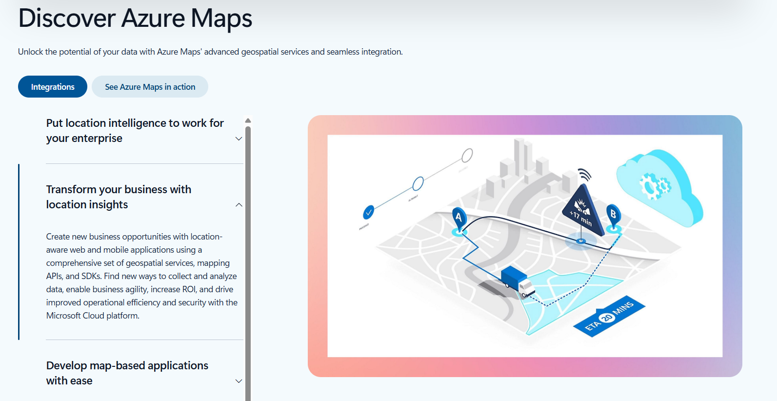
Azure Maps is Microsoft’s location platform, and it is the one Microsoft is investing in: Bing Maps for Enterprise is being retired, and its data and features are folding into Azure Maps. The Search service handles geocoding, reverse geocoding, and POI search, billed as transactions on the current Gen2 plan. As with AWS Location Service, it makes the most sense for teams already inside the Azure ecosystem.
Key Features
- Geocoding, reverse geocoding, address autocomplete, and POI search under one Search service.
- Batch geocoding and structured address input alongside free-form search.
- Integrates with Microsoft Entra ID, Azure Functions, and Power BI.
Pros & Cons
PROS
CONS
Pricing
Gen2 pricing, billed per 1,000 transactions with a monthly free tier.
- Free: 5,000 Search transactions per month
- Above that: $4.50 per 1,000 transactions up to 500,000 per month
- Autocomplete: one transaction per 10 requests
- Volume discounts start at 100,000 transactions per month
How to choose a geocoding API
Start with what you are allowed to do with the result. If you need to store geocodes, read the license first. Google allows it with a cache limit. OpenCage, Geoapify, Geocodio, and LocationIQ on paid plans let you keep results indefinitely. Mapbox, HERE, Esri, and AWS Location Service put storage behind a separate tier or a contract. Nominatim’s public server forbids reselling geocodes and expects you to cache, and Smarty ties stored rooftop coordinates to an active subscription.
OpenStreetMap-derived APIs, which include OpenCage, LocationIQ, Geoapify, and Nominatim, are inexpensive and permissive but inherit OpenStreetMap’s uneven global coverage and ask for attribution. Proprietary datasets from Google, HERE, TomTom, and Smarty cost more and carry stricter terms, but they fill in the addresses that community mapping misses, especially outside Europe and North America. Mapbox, Radar, Esri, AWS, and Azure blend commercial and open data.
Match the provider to your geography and your infrastructure. For a US-heavy product, Geocodio and Smarty go deeper on domestic addressing than any global option, and Smarty is the one to pick when a wrong building is expensive. If your app already lives on AWS or Azure, their in-house geocoders save you a vendor without a large accuracy penalty. For a genuinely global consumer product, Google and HERE remain the safe defaults, with Mapbox and Radar as the cost-conscious alternatives.
Set expectations before you design around the data. Check whether each candidate returns an accuracy indicator, and use it: Google’s location_type, Esri’s match score, and Geocodio’s accuracy score all tell you when a result is a rooftop hit versus a street-level guess. Treat interpolated and centroid results as approximate, fall back to a wider area when confidence is low, and test every shortlisted API on a sample of your own messy addresses before you commit.
Frequently Asked Questions
What is the difference between forward and reverse geocoding?
Forward geocoding takes an address or place name and returns coordinates, which is what a store locator or a find-my-address form needs. Reverse geocoding does the opposite: it takes a latitude and longitude, usually from a device’s GPS or a map click, and returns the nearest address or place. Most APIs in this guide do both from the same key and bill them at the same rate. Autocomplete is a third mode, suggesting addresses as the user types, and it is often priced separately.
Which geocoding APIs are free, and what are the catches?
Several have permanent free tiers. Nominatim’s public server is free within a one-request-per-second limit and bars autocomplete, bulk use, and reselling. Geoapify allows 3,000 credits a day, LocationIQ 5,000 requests a day, and OpenCage 2,500 a day for testing only. Google, TomTom, Esri, Azure Maps, and AWS Location Service each include a monthly free allowance on top of paid usage. The common catches are attribution requirements, testing-only or non-commercial clauses, and limits on storing the results. Radar has no free tier at all.
Can I store or cache the coordinates a geocoding API returns?
It depends entirely on the provider. OpenCage, Geoapify, Geocodio, and LocationIQ on paid plans let you keep results permanently. Google permits caching coordinates for up to 30 days and Place IDs indefinitely. Storing results long-term with Mapbox, HERE, Esri, or the AWS geocoder means a separate paid tier or a contract. Nominatim’s public policy expects you to cache but forbids putting a rival geocoding service on top of it. Read the license before you write results to a database.
How accurate are geocoding APIs?
Country and city results are reliable across every provider here. Street-level accuracy is where they diverge. A rooftop result places the pin on the building; an interpolated result estimates a position along the street from the house-number range, which can be tens of meters off; a centroid result falls back to the middle of a postal code or district. Smarty and Google lead on rooftop coverage in the US, Esri and Geocodio expose a match score you can filter on, and OpenStreetMap-based services are strong in well-mapped cities and weaker in rural areas and much of the Global South.
Is Google Maps still too expensive for geocoding?
It is less clear-cut than it was. The March 2025 change swapped the flat $200 monthly credit for a 10,000-call monthly free tier on the Geocoding API itself, so a small app may now pay nothing where it used to draw on the shared credit. At higher volumes, Google is still one of the pricier options per call, and OpenStreetMap-based APIs such as Geoapify and LocationIQ, or flat-rate platforms such as Radar and Geocodio, undercut it significantly. The trade is coverage and rooftop accuracy, which Google still does better than the low-cost field.